
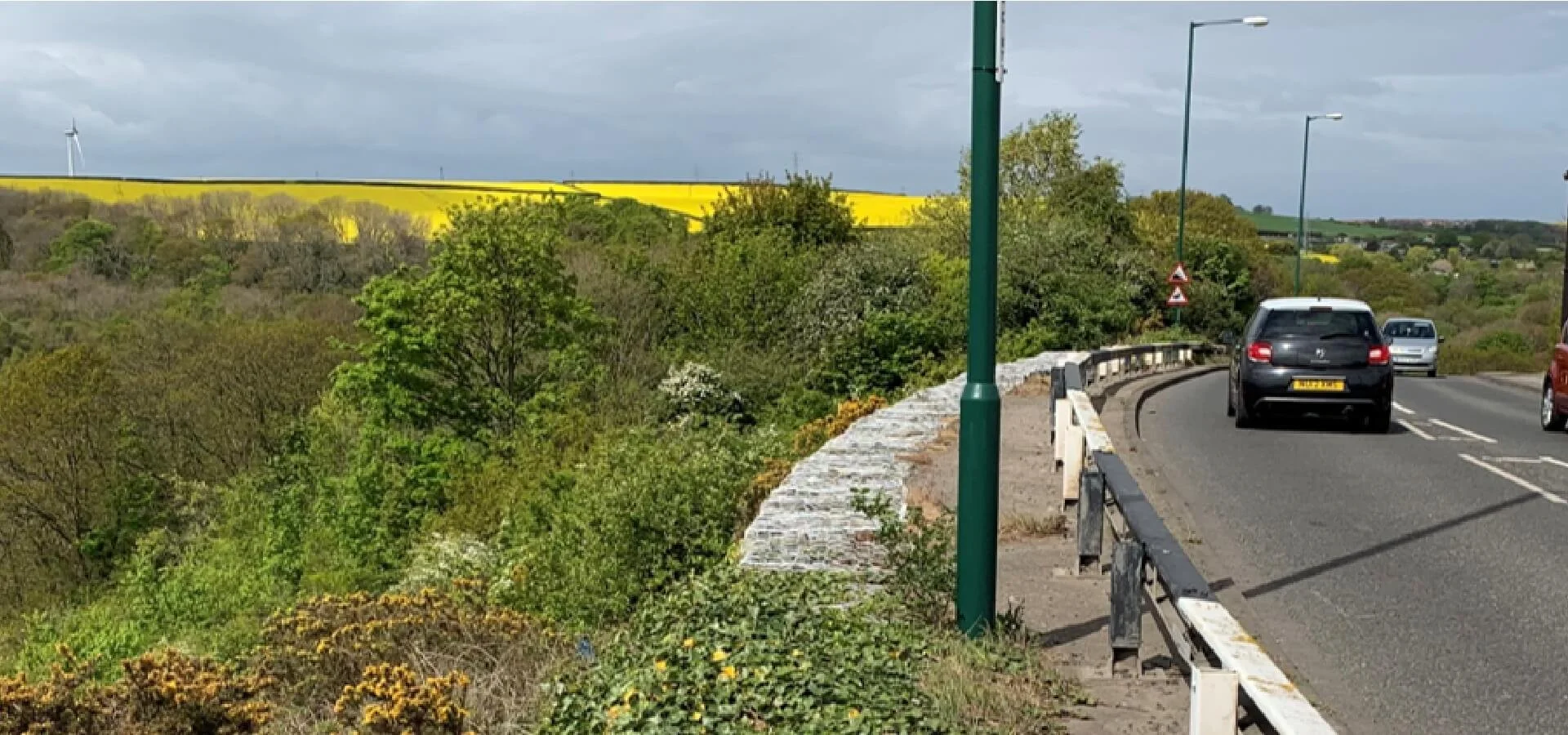
A174 Loftus Bank Slope Stability Assessment
Assessing a localised highway slope failure and identifying drainage-led remedial measures on the A174 coastal route.
- Slope Stability Assessment
- Geotechnical Engineering
- Drainage & Remedial Recommendations
Project Overview
Geotechnical assessment of slope movement at A174 Loftus Bank
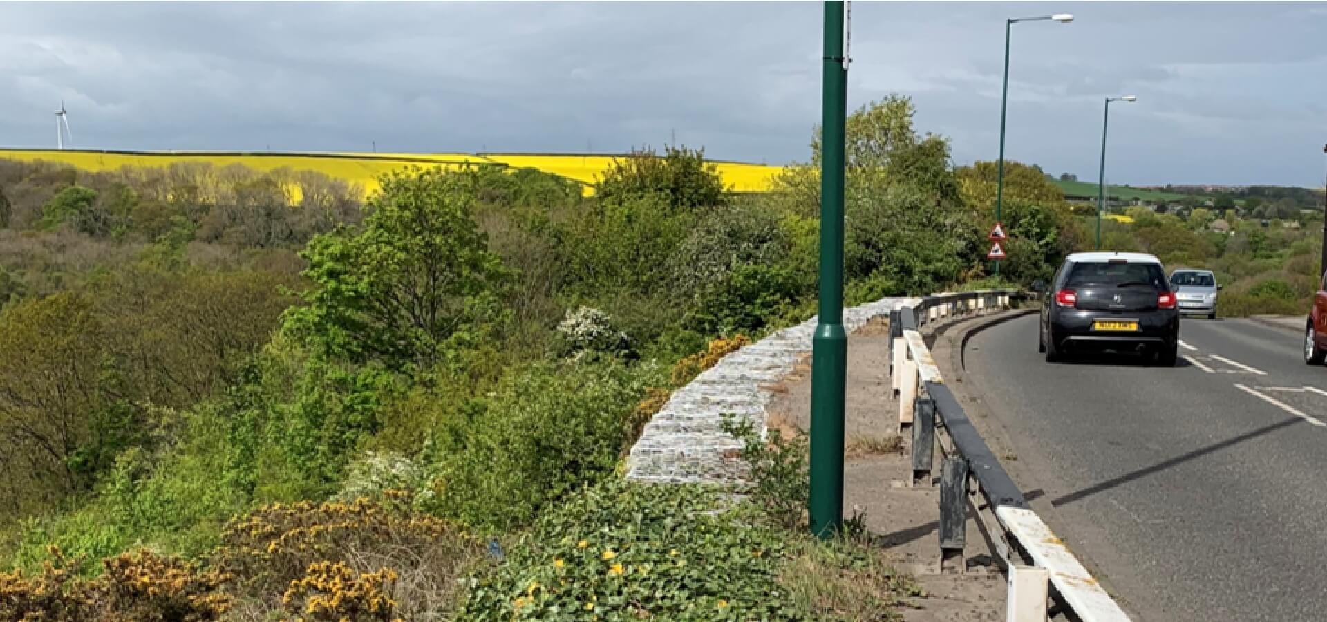
Loftus Bank is a steep, wooded valley-side beside the A174 at Loftus. The road passes through East Cleveland and forms an important coastal connection towards Whitby, with the carriageway close to the slope crest and residential properties immediately beyond the affected area.
Redcar & Cleveland Borough Council commissioned Northpoint in 2019 following reports of further localised movement. Northpoint’s geotechnical engineers were appointed to assess the instability, identify the likely cause and recommend proportionate measures to protect the highway and nearby properties.
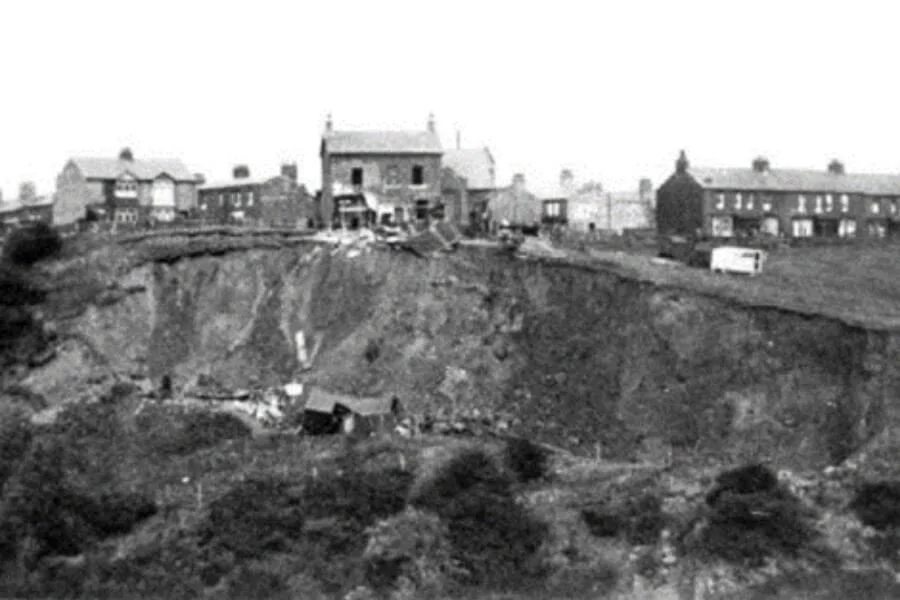
The commission formed part of a much longer history of slope instability. Northpoint reviewed a February 1999 assessment (Ref. RB-9911), which recorded slope failures dating back to 1927, together with a July 2004 assessment (Ref. 05/043/RB-05/043) documenting further instability and subsequent remedial works.
Client Requirements & Site Challenges
The renewed movement raised an important question for Redcar & Cleveland Borough Council: was this an isolated localised slip, or evidence that conditions at the slope crest were again influencing a historically unstable landform?
The affected area sat immediately below a live section of the A174, with residential properties close to the crest. Previous instability and remedial earthworks also formed an important part of the site history.
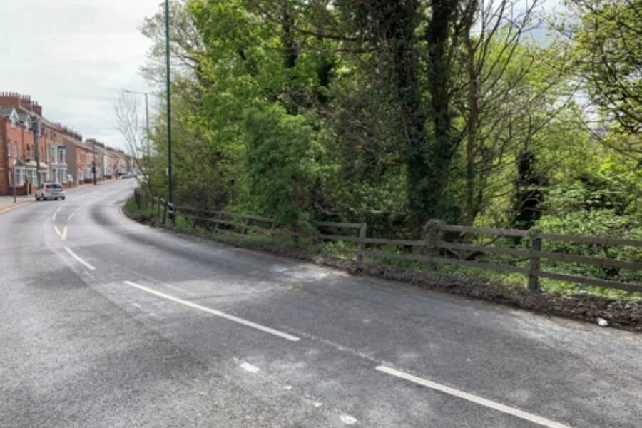
A further consideration was the absence of a formal kerb line and highway drainage system, which meant surface water could drain directly towards the upper slope.
Northpoint therefore needed to establish the likely mechanism of movement and provide proportionate recommendations that addressed both the immediate risk and the longer-term management of the slope.
Our Slope Stability Assessment Approach
Northpoint completed a one-day visual inspection of the affected section of Loftus Bank and reviewed previous reports concerning historical slope failures at the site.
The assessment considered the localised movement in relation to the slope crest, the A174 highway, previous instability and the prevailing drainage conditions. No separate survey, intrusive ground investigation, laboratory testing, calculations or numerical stability analysis was required.
The assessment identified uncontrolled surface-water ingress at the crest as the most likely trigger for the localised slip. This enabled Northpoint to recommend a focused response addressing the observed mechanism of movement.
Recommendations included remedial filling and localised regrading of the affected area, improved drainage control between the carriageway and slope crest, and planting as part of the longer-term management of the slope.
Key Findings
The assessment also confirmed the importance of considering the latest movement within the wider historical context of Loftus Bank, where instability had previously affected the slope and required remedial intervention.
Because the likely mechanism could be established from the visible site conditions and available historical records, Northpoint was able to recommend a proportionate remedial and monitoring response without escalating the commission to an intrusive investigation or numerical stability analysis.
Results & Deliverables
Northpoint produced a written Slope Stability Assessment report setting out the site-inspection findings and providing remedial and monitoring recommendations. The report was supported by a Site Location Map and Photographic Record Sheet. No separate calculations or detailed design drawings were required.
The assessment was completed by a Principal Engineer qualified to BSc (Hons), MSc, PGCE, CGeol, CSci, FGS and MSEE level, providing chartered professional oversight without identifying the individual engineer.
The recommendations included remedial filling and regrading, improved drainage control and planting. Northpoint also recommended monitoring the affected area every six months and following significant rainfall or storm events.
Together, these recommendations gave Redcar & Cleveland Borough Council a proportionate framework for managing the localised instability and monitoring this historically sensitive section of Loftus Bank over the longer term.
Supporting Highway & Slope Stability Projects
Highway cuttings, embankments and natural slopes can be affected by a combination of ground conditions, drainage, historic movement and changes in the surrounding environment.
Northpoint provides Slope Stability Assessment, Slope Stability Analysis and geotechnical engineering advice to highway authorities, landowners and project teams managing existing or emerging instability.
Our engineers assess the relationship between ground conditions, drainage and observed movement to define practical, proportionate measures for investigation, stabilisation and long-term slope management.
Concerned about movement, drainage or instability beside a highway or development?
Northpoint can provide a proportionate Slope Stability Assessment to establish the likely causes of movement and recommend appropriate next steps for investigation, remediation or long-term management.